Cornwall's Roseland Peninsula is tantalisingly close to Falmouth, being the next stage in the eastern journey along the Cornish coastal path. However to get there means crossing two rivers, the River Fal and its small tributary the Percuil River. However, if you are not deterred by this you will be rewarded with Falmouth's best day out, with some of the finest coastal scenery in the whole of the county.
 |
| Falmouth's Pendennis Headland and castle, with the Roseland Peninsula in the background |
Our journey last Sunday started at the Prince of Wales Pier, less than a mile walk from Falmouth's main Gyllyngvase Beach and the
MEI Conference venue, the St. Michael's Hotel. At the pier we bought return tickets for the ferry journeys to Place, and the start of an outstanding day out.
The 3 mile ferry journey to St. Mawes took us across the Carrick Roads, the name given to a section of the River Fal which forms a large waterway, created at the end of the last Ice Age when sea levels rose dramatically and created a huge natural harbour. The Carrick Roads is a classic drowned river valley and the entry to this, the world's 3rd largest natural harbour, is guarded on either side by the Tudor castles Pendennis and St. Mawes, built in the early 16th century in the time of Henry VIII to defend against expected invasions from Spain and France (see also
posting of 4th April 2012).
 |
| The ferry entering St. Mawes harbour, with the castle on the left |
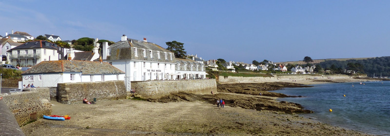
Arriving in picturesque St. Mawes harbour, you may wish to stop for refreshment before taking the short crossing to Place on the Roseland Peninsula.
 |
| St. Mawes |
 |
| The ferry arrives at Place |
There are a number of walks from Place but we decided to opt for a 6-mile circular walk, graded 'moderate' due to the overall ascent of over 900 feet.
Taking the shaded footpath to Porth Farm, we followed the Percuil River eventually reaching the coast path at Towan Beach on the eastern side of the Roseland Peninsula.
 |
| St. Mawes from the Percuil River path |
Towan Beach was good place to stop for lunch, sheltered from the easterly wind by the raised beach, a reminder of once higher sea levels.
 |
| Towan Beach |
The footpath to Zone Point, the most southerly tip of the peninsula was almost deserted, as this is a remote area for many walkers, but the cliff scenery was magnificent, with precipitous vertical drops to the rocks 200 feet below.
Rounding Zone Point the views across the Carrick Roads to Falmouth and St. Mawes were spectacular, as was the scenery on the western side of the peninsula, particularly around St. Anthony Head and the walk through pine woods passing the beautiful Great Molunan Beach.
 |
| Great Molunan Beach |
From there it was an easy return to Place, to catch the first of the ferries back to Falmouth, and the end of an outstanding day.
More Cornish Walks
More on Cornwall


No comments:
Post a Comment
If you have difficulty posting a comment, please email the comment to bwills@min-eng.com and I will submit on your behalf