Showing posts with label Cornish walks. Show all posts

Monday, 17 May 2021

St. Mawes to St. Just in Roseland

Hopefully we will be well back to face to face conferences next year, and if you are coming over to Falmouth for the June conferences in 2022, do stay on for a few days as there is plenty to do in and around Falmouth (posting of 11th March 2015).

If you enjoy walking there is perhaps nothing better than the 6 mile circular walk from the beautiful town of St. Mawes to the lovely church at St. Just in Roseland.

Image: iWalk Cornwall

St. Mawes lies across the River Fal estuary from Falmouth and the 3 mile ferry journey from the Prince of Wales pier in Falmouth centre crosses the estuary, known as the Carrick Roads. This large waterway, created at the end of the last Ice Age, when sea levels rose dramatically and created a huge natural harbour, the world's 3rd largest, is a classic drowned river valley and the entry is guarded on either side by the Tudor castles Pendennis, in Falmouth, and St. Mawes, both built in the early 16th century in the time of Henry VIII to defend against expected invasions from Spain and France (see also posting of 4th April 2012).

Approaching St. Mawes harbour, with the castle on the left

It is worth spending some time in St. Mawes, maybe for lunch overlooking the water, before setting out on the walk, for which I recommend that you be guided by the excellent iWalk Cornwall App.

Leaving St. Mawes

The walk soon follows a footpath up the Percuil River, a tributary of the Fal, and then crosses fields towards St. Just in Roseland.

The Percuil River

The church at St. Just in Roseland is one of Cornwall's gems, its gardens described by the poet John Betjeman as ‘to many people the most beautiful churchyard on earth’. 

The church is on the site of a 6th century Celtic chapel, and for 400 years after its foundation it was served by clergy from the adjacent cell of Lanzeague, until Roseland was taken over by the Saxon Bishops of Crediton and Exeter. 

The 13th century church is set in beautiful gardens beside a peaceful tidal creek and a local legend tells of Joseph of Arimathea bringing his boy nephew, Jesus, to Cornwall, and that he landed at St Just in Roseland.

From the churchyard it is a short distance to the Fal, and an easy walk back to St. Mawes with wonderful views across Carrick Roads of Mylor and Falmouth Harbours.

Back in St. Mawes

More Cornish Walks
More on Cornwall

@barrywills


Thursday, 6 May 2021

Gwennap to Carn Marth

Gwennap, a small village just 7 miles from Falmouth, gives its name to the surrounding area known as the Gwennap Parish, which in the 18th and early 19th centuries was the world's richest copper mining district, having the soubriquet 'the richest square mile on earth'.

It is estimated that there were around 3000 mine shafts in this area, relatively few being associated with the iconic Cornish Engine Houses which housed the massive pumping engines, and hoists to bring ore to the surface. The majority of these shaft were just small holes in the ground, wide enough to accommodate ladders down which the miners would descend a couple of thousand feet or more to their place of work.

It is hard to imagine what it must have been like to spend hours each day descending and ascending these ladders, but the 19th century author W. Wilkie vividly described what it was like and in 1787 the novelist William Beckford visited the Gwennap Parish and wrote "at every step one stumbles upon ladders that lead into utter darkness.... the miners who crawl out of the dark fissures are woeful creatures in tattered garments with pickaxes on their shoulders, while the mine officials regale upon beef, pudding and brandy'.

There is little evidence of this intensive mining now. Most of the mine shafts are either capped or fenced off and on a 6.75 mile walk towards Redruth, once the UK's richest town, former Elsevier journal manager Dean Eastbury and I passed only one lonely engine house, that of Pennance Consols, and the remains of granite quarrying at Carn Marth.

What was once a polluted area of smoking chimneys is now a quiet country landscape, a pleasant afternoon walk to the granite hilltop of Carn Marth, looking down on the village of Lanner, with a sweeping panorama from St. Agnes on the north coast, to Falmouth on the south. 

Our circular walk, directed by the excellent iWalk Cornwall app, began at the Gwennap Parish church, which dates back mainly to the 15th century, and took us north to Carn Marth.

Gwennap Parish church

Of historical significance on the walk is Gwennap Pit, an ampitheatre which probably originated from a mine collapse or an open-cast working. It is famous for being used by John Wesley, the founder of the Methodist movement, to preach on 17 occasions between 1776 and 1789. 

Gwennap Pit

Cornwall took to Methodism like no other county in England. For a community of miners, facing danger at work every day, and for farmers and fishermen, Wesley's simple doctrine of justification through faith and instant salvation offered comfort, security and hope. There are few towns and villages in Cornwall which do not have a Methodist Chapel.

The lone engine house which we passed was the pumping house of the Pennance mine, built in 1866. Pennance Consols, previously known as Wheal Amelia, was a small mine which produced copper, and later tin, and closed in 1874.

In 1877 there were four granite quarries on the top of the 235m high granite hill known as Carn Marth, and two of these merged to form a small lake at the top of the hill.

From the top of the hill, which looks down on Lanner and Redruth, the hills of Bodmin Moor can be seen and the hill was used as a beacon for centuries, and in Tudor times was an early warning system, where a chain of hilltop fire beacons, including the plainly visible beacon at St. Agnes, were used to warn of invasion.

Returning to Gwennap we walked through open countryside with the south coast and Falmouth visible in the distance.

More Cornish Walks
More on Cornwall
More on Cornish Mining

@barrywills

Tuesday, 27 October 2020

Cape Cornwall to Land's End

This is a wonderful 6 mile walk, the last stretch of Cornwall's north coast footpath before it curves back along the south coast to follow the English Channel.

Cape Cornwall, the headland near the town of St. Just, was once thought to be the most south westerly point of mainland Britain, but this is in fact Land's End. On the headland is a distinctive chimney of a mid-19th century tin mine, which was retained as an aid to navigation, no other trace of the mine remaining.

Cape Cornwall

The first few miles are typical of the rugged north coast footpath, on undulating rocky terrain with a few scrambles needed, but all the way there are lovely views back to Cape Cornwall. 

Looking back to Cape Cornwall

This section of coastline is totally unspoiled and from the coastal path there is no sign of civilisation, with very few other walkers, but all this changes at the beautiful golden sands of Sennen Cove, a haven for surfers, facing west with America the next stop across the Atlantic Ocean.


Sennen Cove

Leaving Sennen

The final mile from Sennen Cove to Land's End is easy, along a wide path that gently curves over the top of the cliffs. This is a very popular part of the South-West Coast Path and attracts the less experienced hikers, families and dog walkers.

Looking back to distant Cape Cornwall

The number of tourists increases as the 19th century Longships Lighthouse comes into view and then the First and Last Refreshment House, truly the most South Westerly point of mainland England. 
Distant Land's End and the Longships islets and lighthouse

Arriving at Land's End

The Land's End of the tourists

More Cornish Walks
More on Cornwall

@barrywills

Thursday, 8 October 2020

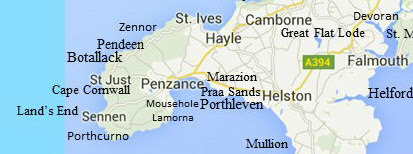
Zennor to Gurnard's Head: a challenging short walk

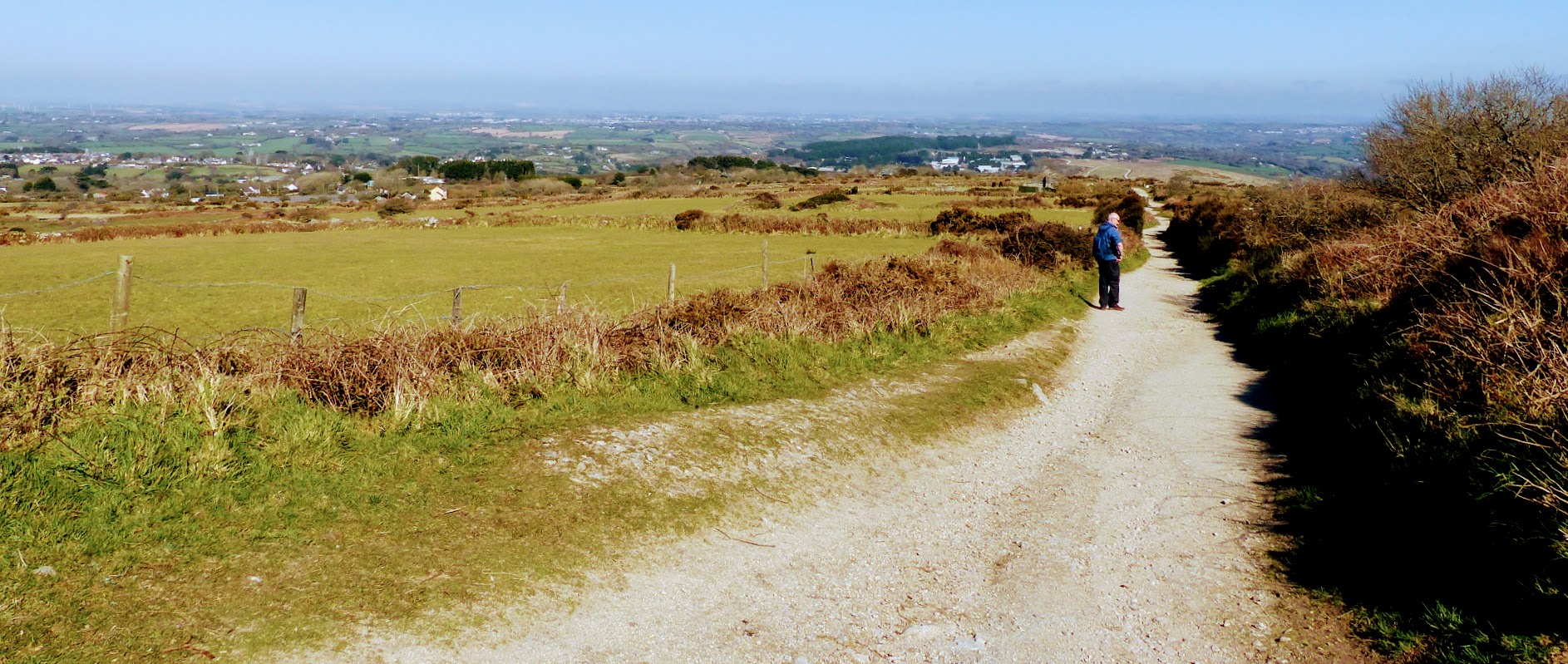
This is a short walk but is a tough one due to the rocky, undulating path, which is boggy in places. Only about three miles in length, allow around 2 hours as it is very slow going, and I spent most of the time looking at my feet rather than the magnificent views, which are typical of this part of the north Cornwall coast on the Penwith peninsula.

Barbara and I did this last month, in the company of former Minerals Engineering publishing manager Dean Eastbury, and his friend Penny.  We barely managed to park in the tiny hamlet of Zennor, which is often busy in summer, after which we set off into the ancient landscape, with its small fields lined with tall stone walls and hedges, dating back to the Bronze and Iron Ages.

The rocky coast path

Passing by small coves we eventually approached Gurnard's Head, its distinctive shape resembling the fish after which is is named. 

Near the promontory there is the first hint that not too far away to the south-west is the St. Just Mining District, with its famous submarine mines. The ruins above Treen Cove are of the Gurnard's Head Mine, also known as Wheal Treen, an old copper mine which worked a high grade lode in the metasediments ('killas') which extended beneath the sea. The only record of output is from 1853 when 25 tons of copper were produced, from ore grading 12% Cu.

Treen Cove

It was from here that we decided to leave the coast path and head off up the cliff to the distinctive Gurnard's Head Hotel, a familiar landmark on the B3306 from St. Ives to St. Just, widely regarded as the most scenic and remote road in the south west. 

There are few hostelries on this road, but the Gurnard's Head Hotel might be a good base for anyone wishing to walk the north Penwith peninsula from St. Ives to Land's End. Thankfully it also has a bus stop from which we gratefully took the bus back to Zennor.

More Cornish Walks
More on Cornwall
More on Cornish Mining

@barrywills

Thursday, 30 July 2020

Pendeen Lighthouse to Levant Mine

The glorious stretch of coast path in Cornwall's Penwith Peninsula (or the Land's End Peninsula) is not only an area of outstanding natural beauty, but is also of great interest because of its important tin and copper mining history and legacy.
The small village of Pendeen has three excellent pubs, an indication of this once being a thriving mining community, serving the mines in the St. Just District. There is an excellent 4-mile circular walk from the village to the Pendeen Watch Lighthouse, and then along the coast path to the famous Levant Mine, which closed in 1930, eleven years after the tragic man-engine disaster (MEI Blog 20th October 2019).


Pendeen Lighthouse, also known as Pendeen Watch is an active aid to navigation, and was commissioned in 1900. This whole stretch of coastline, with its jagged rocks lying just below the surface of the water, has caused many a problem to passing vessels, one notorious area being that around Gurnard's Head, a headland a few miles further towards St Ives.
The walk along the coastal path from the lighthouse to Levant Mine is only 1.6 miles but allow around 45 minutes as there are a few ups and downs along the way, but nothing severe, the elevation gain being only around 280 ft.

Approaching the St. Just Mining District
Ruins of the Geevor and Levant mines
Looking back to distant Pendeen Lighthouse
The Levant Mine
From Levant, you can walk back to Pendeen along the road, but I would suggest that if time permits you continue along the coastal path for just under a mile to the iconic ruins of the Botallack Mine and the region of Cornwall's submarine mines (MEI Blog 20 October 2014). There is probably a no better historical mining walk anywhere in the world.